Source: humanosphere.org
Published: April 28, 2016

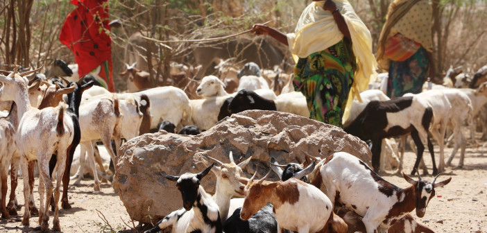
(©EU/ECHO/Anouk Delafortrie)
By Tom Murphy
El Niño combined with climate change has caused major problems for millions of people. Residents of eastern and southern Africa have been particularly hit hard. As many as 36 million people across the two regions are facing hunger. A new warning by a group of 23 NGOs in Somalia says the country may slip back into the deadly famine of 2010. In Ethiopia, more than 10 million people are in need of critical food aid, according to the World Food Program.
As the problem persists and warnings emerge every few weeks, one simple technology is aiding Ethiopia’s pastoralists – maps. A program is being tested that provides satellite maps of land traditionally grazed by cattle owned by pastoralist groups. They help communities identify where to go and potentially reduce cattle loss and improve food security.
“Food aid is important and necessary, but it is not going to bring back their livestock or improve their livelihoods,” said Chris Bessenecker, vice president of strategic initiatives at Project Concern International, in an interview with Humanosphere. “Passing out a paper map is less expensive than handing out bags and bags of food, and potentially more cost-effective.”
Traditionally pastoralists will send out scouts to see if the land is suitable for grazing. Decisions are based on what worked in prior years and information spread by word of mouth. Those scouts will return home or call to share the status of their location. That collected information is then used to either send the scouts to new locations or determine where to graze. It is a slower process that can cost valuable time when food is scarce for livestock and some grazing areas are as big as 21,000 square kilometers.
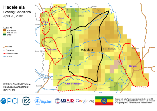
The satellite-assisted pastoral resource management program run by Project Concern provides pastoralists with maps that show which areas are better than others. Community leaders consult the maps and then dispatch scouts to the areas for confirmation. It saves time and helps leaders make better decisions.
Most of all, it is having a positive impact. In a one-year pilot of the program more than 70 percent of households participated, and used the map data to make decisions and herd deaths fell by half, compared to pastoralists not participating. With funding from Google and USAID’s Development Innovation Ventures, the satellite program will reach more than 1 million people in Ethiopia and Tanzania. It may soon expand to Burkina Faso and Mali.
Ethiopia and Tanzania were chosen because of the differences between the countries. Project Concern is trying to understand whether the program could have the same impact as it did in the pilot in different countries. And with the drought hitting the region, the new evaluation will test whether the maps can help mitigate any negative impacts.

Grazing conditions map for Hadele ela, Ethiopia.
“We have a pretty strong sense that under normal conditions these maps have a significant impact. We are very interested in understanding if the map has value in the context of drought where people may not have any place to go to pasture,” said Bessenecker.
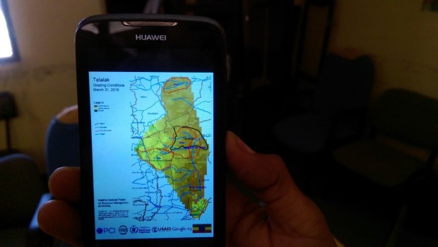
Maps are being made available for smartphones for people who happen to have them. But for the majority of pastoralists, that is not the case. It is a nice tool, but not really the point if the average person cannot use it. So map print-outs remain the technology of choice.
Ethiopia is saddled with the worst drought in about 50 years. The region near Somalia is particularly vulnerable with reports that livestock fatality rates of up to 90 percent. El Niño-caused drought has left 41 million people struggling to meet their food needs around the world. For pastoralists in Ethiopia, maps may help them beat hunger and keep their livestock.
“This is not going to eliminate the need for food aid, but if you can mitigate that you can have a real impact,” said Bessenecker.

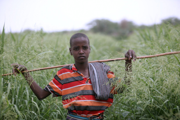
Pastoralist in Afar, Ethiopia. (©FAO/AU/Yohannes Zirotti)

(Project Concern International)
